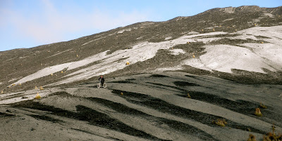
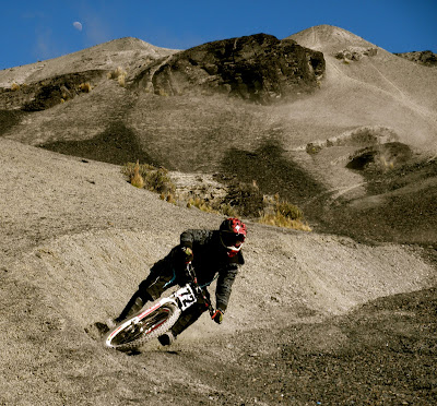
 Here's a fun line we rode the other day up at the cumbre. We climbed up to a high point (4,800mts) from the pass on the road from La Paz to the Yungas, aka the death road, and proceeded to play around on a fun route down. Heading back up there soon to clean up the entrance and build some lips.


On this day we continued down the paved yungas road to the ancient Silluntincara trail.

.

A short hike up through the cloud forest brings you to the ridge, where we crossed paths with a campesino who was spending his day collecting a type of bamboo used to make the larger, deeper wind instruments. We then began the descent of the pre-columbian path that zig zags down through a bonzai forest for about 2500 mts and then connects with the main Inca road, the Choro, at the japanese gardens of Sandiñani. From here a fast forty-five minutes of flying down the ancient imperial road brings you to village of Chairo (1300 mts), where Andy's jeep was waiting next to the store with the cold ones.

This trails passes through an interesting form of north-facing cloudforest, dripping with lichens and abundant bromeliads that provide a meal for the andean bears that habitate the zone. This time of year the bird-life is particularly abundant as well. Sorry to say though that the upper trail was not nearly as clear as a few years back when I last rode it. It was a treacherous 4 hour ride down the slippery stone path. Vine lassos and punji traps lined the overgrown jungle trail that had me on the lookout for vipers. So for next time we will be focussing on buffing out the upper altitude scree lines and doing shuttle runs above the vegetation.
No comments:
Post a Comment